What these fieldnotes do
Our articles explain terrain, preparation and responsible decision-making using real places as research starting points. The present focus is on examples in Great Britain, where access frameworks and land management vary between places.
We do not describe the examples as undiscovered or promise solitude. Some are well-known destinations. Their inclusion is about a way of looking, not a claim that their location is privileged information.
What they do not do
We do not provide guided trips, surveyed route files, live conditions, accessibility certification or emergency assistance. A named place appearing here does not mean we have recently inspected it or that it is suitable for your circumstances.
Official notices, current maps and the conditions you encounter take priority over our text. Links to land managers and public bodies are provided for research; Lookoutravirell is independent and is not affiliated with or endorsed by those organisations.
Boundaries are part of the landscape
We do not encourage crossing barriers, ignoring closures, entering private land without permission or revealing sensitive wildlife locations. Where a place is fragile or access is restricted, the responsible discovery may be an alternative route.
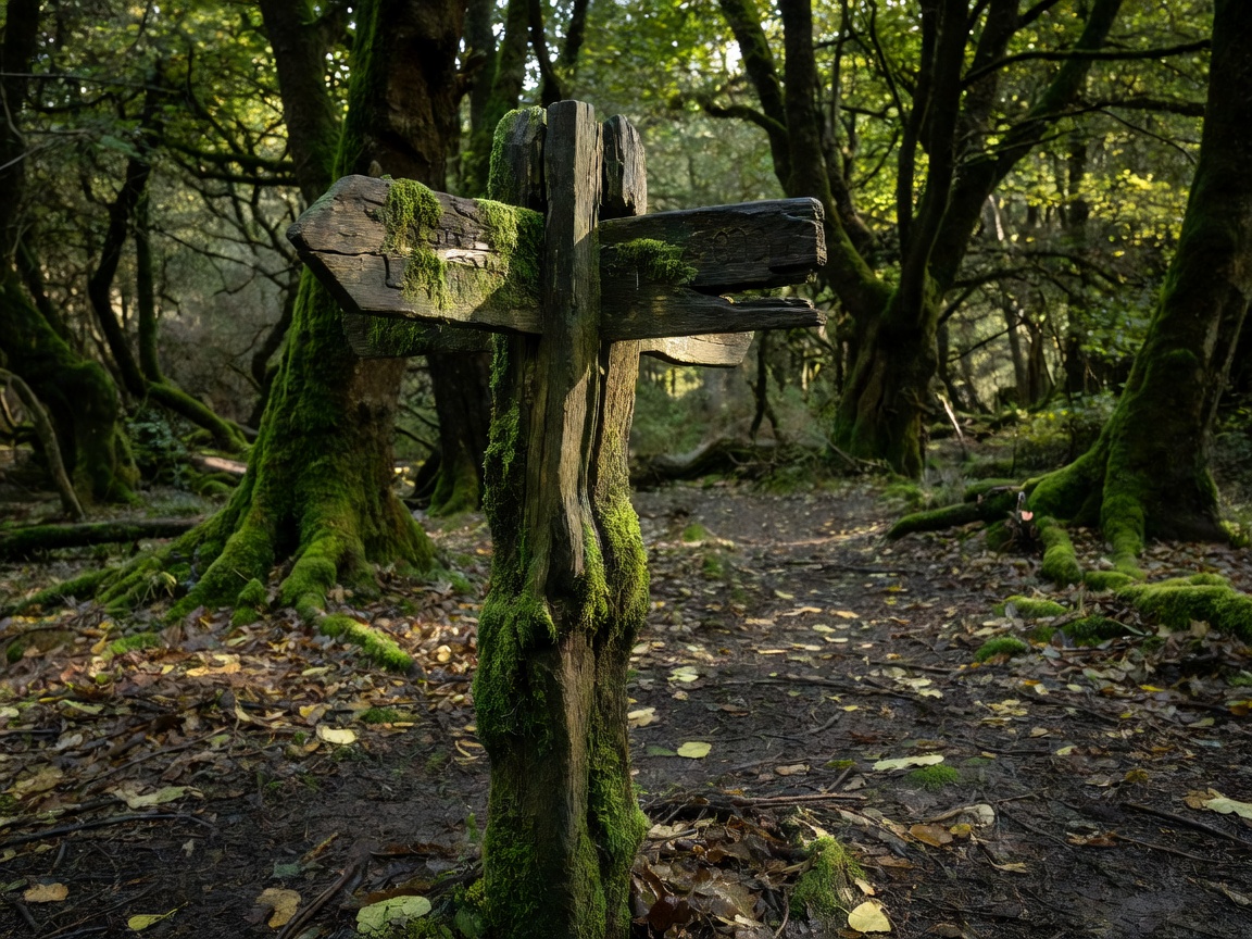
Our photographs are illustrative unless a caption explicitly documents a place and context. They are not proof of present water levels, stable ground or legal access.
Corrections belong in the conversation
If a description is misleading, an official link changes or access information needs attention, please send the page name and a reliable source. We welcome clear corrections without asking anyone to visit a hazardous place to gather evidence.
Write a field note