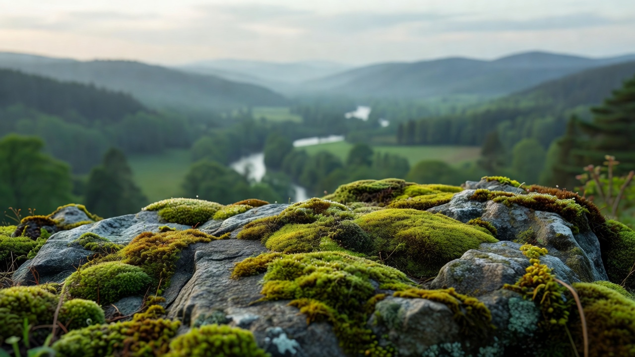
Look for a view with layers
The highest point does not automatically offer the richest scene. A lower opening may hold foreground trees, a river bend and distant slopes in a single frame. It may also provide a more sheltered, comfortable place to stop. Look for the relationship between near and far rather than treating elevation as the only measure of a walk.
That change in attention makes familiar landscapes newly interesting. Watch how cloud shadows move across a hillside or how a line of stone walls describes its shape. You do not need to cross a fence or stand on a projecting rock to appreciate either detail. The best stopping place is one where the whole group can pause without blocking the path or approaching unstable ground.
Research the approach, not just the pin
A map marker tells you where a viewpoint sits, but not necessarily how you may reach it. Identify the public or permitted approach, the height gained, junctions, surface and return options. Check the relevant land manager’s website for closures and parking arrangements. Do not assume that a route uploaded by another walker establishes legal access.
Access rules differ across England, Wales and Scotland. Scottish outdoor access rights come with responsibilities and do not mean every place or activity is unrestricted. Elsewhere, rights of way and mapped access land have their own limits. Gates, signs and local notices need to be read together with a suitable map. If the legal approach remains unclear, choose somewhere better documented.
Four places to begin your research
These examples are established destinations, not newly revealed secrets. Their value here is the range of approaches they illustrate. None of the descriptions confirms present access or suitability.
Surprise View, Borrowdale
This Lake District overlook invites attention to the relationship between woodland, water and surrounding fells. Its proximity to a road does not remove the need for care near steep ground. Check National Trust information for the Borrowdale area before visiting.
Walla Crag, near Keswick
A fell approach is a different proposition from a roadside stop. Study the full ascent and descent, expect uneven surfaces and check a mountain forecast. A distant view of Derwentwater is not a reason to keep climbing into deteriorating visibility.
Craigellachie, Aviemore
Woodland and steeper slopes make this reserve useful for thinking about gradual transitions in terrain. Consult NatureScot’s reserve information, choose a defined route and assess whether its gradients and surfaces match your party.
Queen’s View, Loch Tummel
A recognised viewpoint can still reward patient observation. Use Forestry and Land Scotland information to check facilities and access. Do not interpret a well-known destination as a guarantee of step-free access or a quiet arrival.
Make the descent part of the decision
Before going higher, ask what coming down will involve. Wet roots that feel manageable uphill can be awkward under tired feet. Loose stone, steep steps and muddy gradients may require more time than the outward walk suggested. Choose footwear for the surface, leave room in your daylight plan and carry a light rather than relying on your phone’s torch.
At an exposed opening, wind can arrive abruptly after a sheltered approach. Keep away from edges and avoid balancing on walls or rocks for a photograph. If gusts affect your footing, retreat to shelter. A lower viewpoint, a shorter loop or an early return is a complete outing, not a failed version of a bigger one.
Let observation set the pace
Pause where there is room, and keep snacks and spare layers within reach so a stop does not become a prolonged unpacking exercise across the trail. Allow other walkers to pass. Keep dogs under effective control and follow local requirements, especially around livestock and wildlife.
When sharing your visit, describe the established approach and any restrictions rather than promoting an informal shortcut. Avoid presenting a single photograph as evidence of safe conditions. Light may repeat, but ground conditions, wind and access can change between visits. The most useful field note explains what you checked and what you chose not to do.
Useful starting sources
- National Trust — search for Borrowdale and local visitor notices.
- Lake District National Park — access and walking information.
- NatureScot — Craigellachie reserve information.
- Forestry and Land Scotland — Queen’s View visitor information.
- Scottish Outdoor Access Code — rights and responsibilities.